support@quickviewdrones.com
ONE WORKFLOW. DIFFERENT APPLICATIONS.
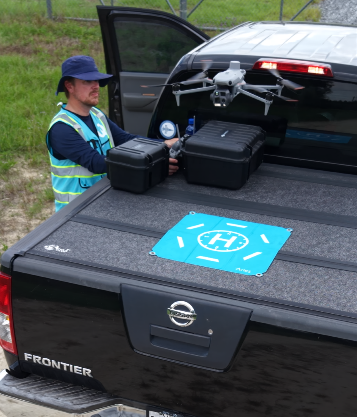
Different industries need different information. QuickView identifies the intended outcome, captures the right data, processes it appropriately and delivers it in a form the project team can use.
Each industry uses a different combination of mapping, measuring, inspection, modeling, monitoring and marketing services.
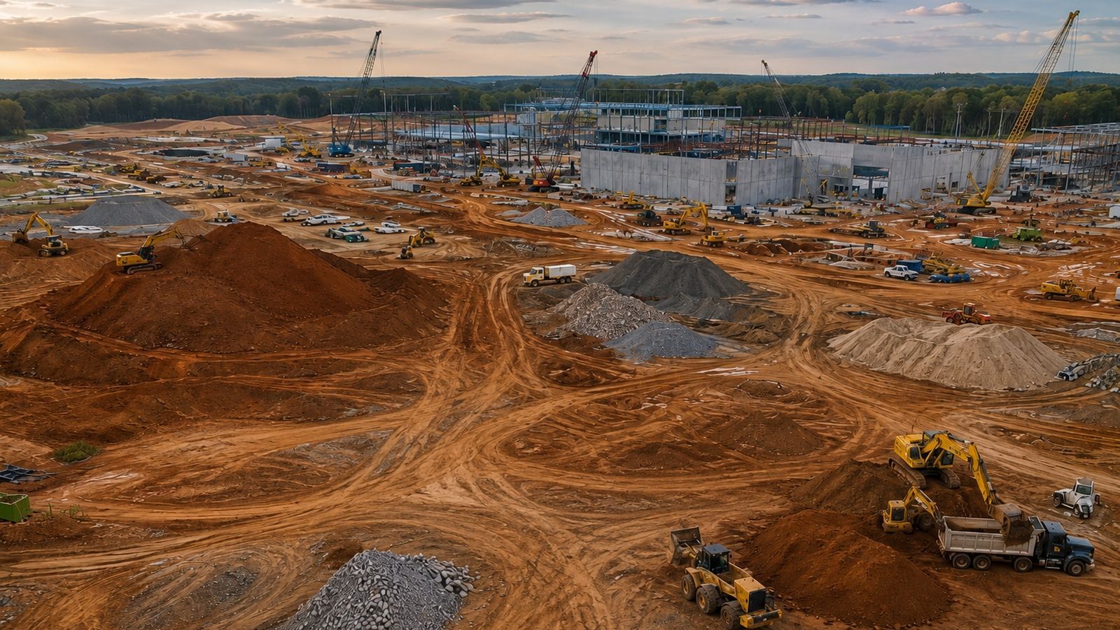
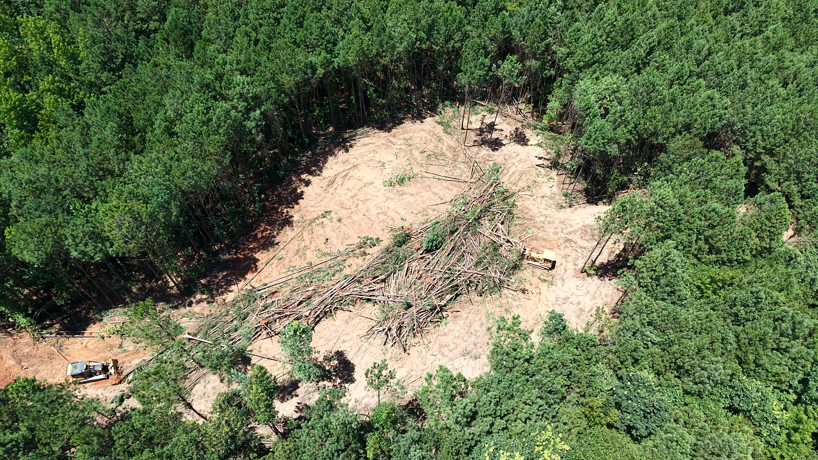
Progress, quantities and changing site conditions.
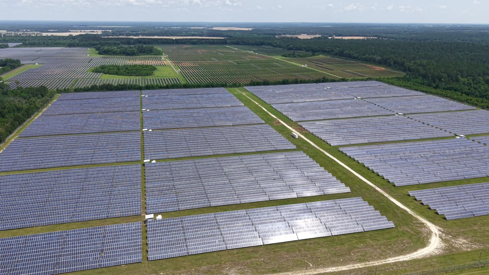
Visual and thermal capture of distributed assets.
Visual, mapping, thermal and 3D records.
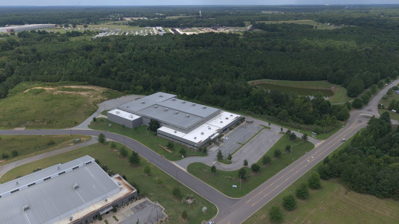
Roofs, facilities, equipment and property conditions.
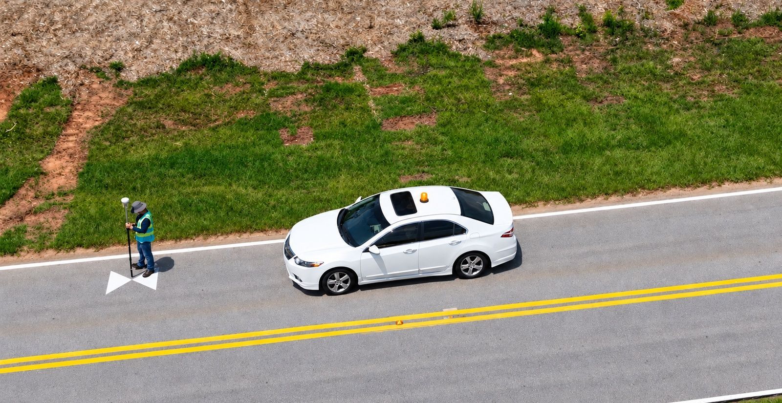
Current views that can be mapped and measured.
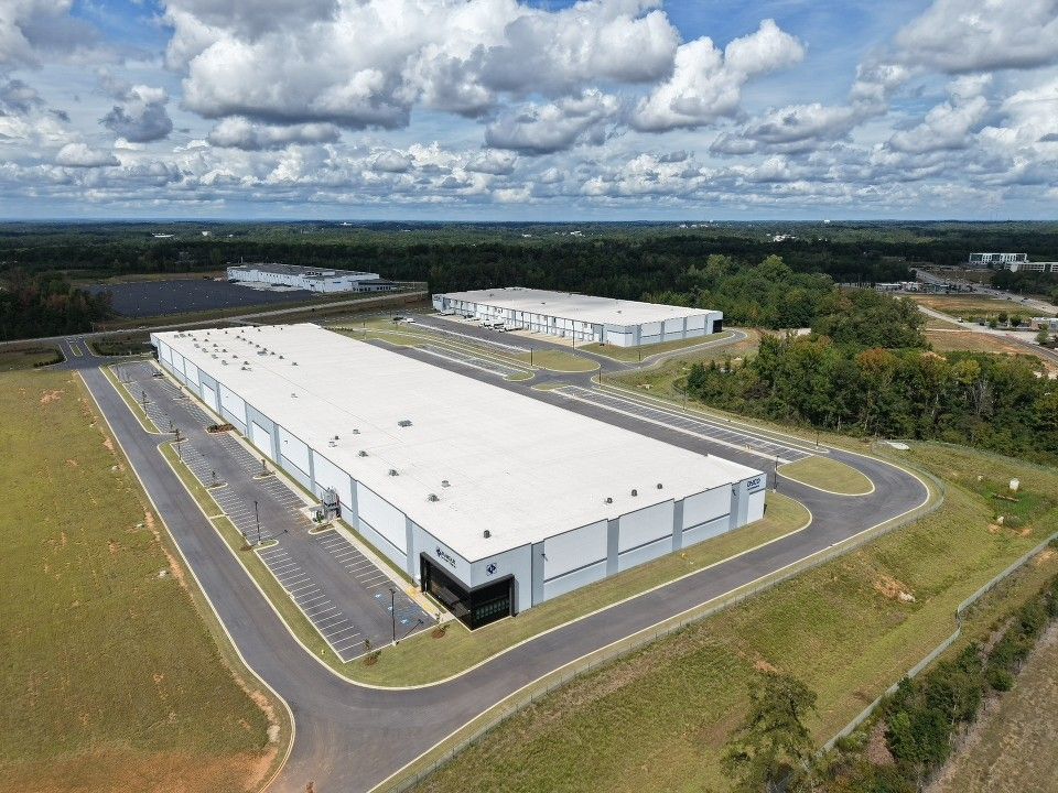
Scale, surroundings, access and presentation.
The industry determines the problem. The required outcome determines the mission.
Identify the information, decision or presentation the client needs.
Collect the appropriate visual, thermal, positional or motion data.
Convert the raw data into useful maps, models, measurements, reports or media.
Provide organized files suited to the client's workflow.