
Turn Aerial Data Into Quantities You Can Use
DISTANCE, AREA, ELEVATION, VOLUME AND CHANGE.
Properly planned photogrammetry can support stockpile, earthwork and site measurements without requiring personnel to traverse every part of the project area.

Capture. Process. Deliver.
Measurement quality depends on flight planning, image overlap, positioning, site conditions and the intended use of the results.
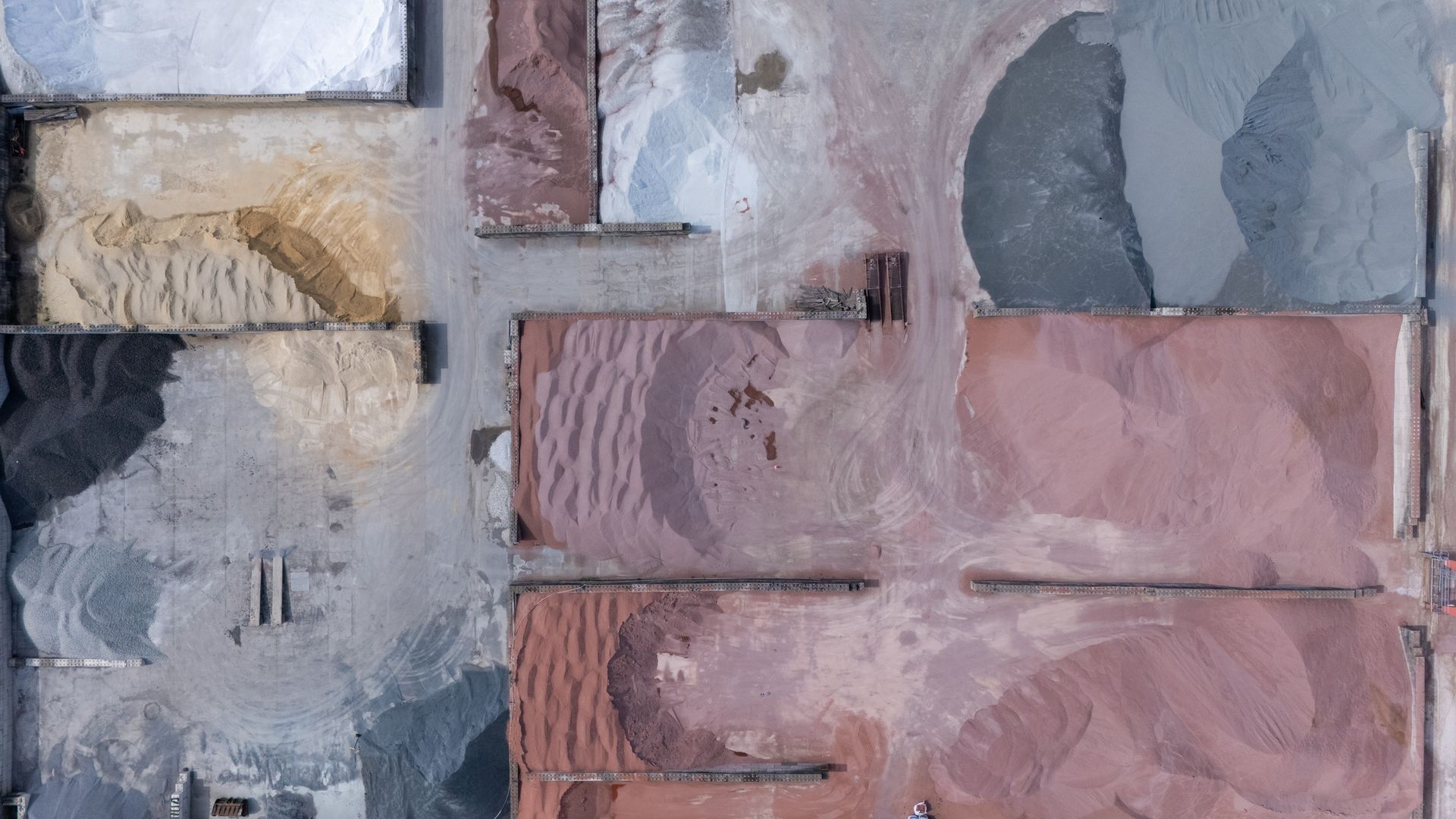
CAPTURE
Build a measurement-quality dataset.
- High-overlap imagery
- RTK positioning
- Ground control when required
- Targeted stockpile coverage
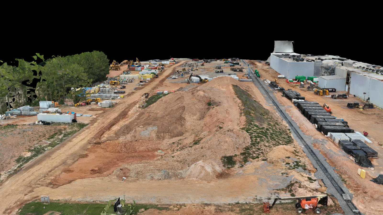
PROCESS
Create measurable surfaces.
- Dense point clouds
- Elevation models
- Volume calculations
- Cut-and-fill comparisons
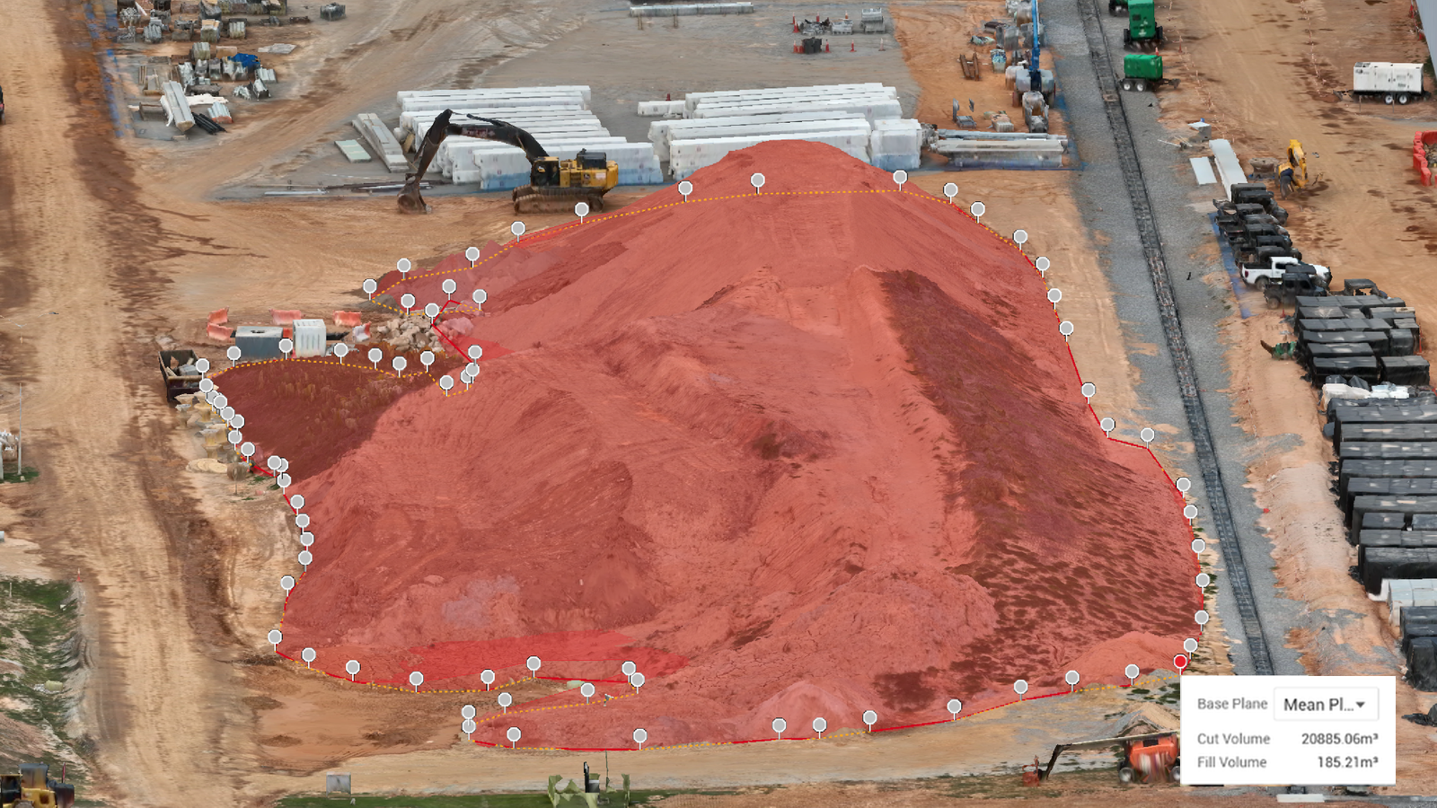
DELIVER
Make the result reviewable.
- Volume reports
- Annotated measurement maps
- Quantity summaries
- Condition imagery
Common Applications
Results support planning, inventory, estimating and verification. Accuracy depends on the mission design and site conditions.
Material Inventory
Aggregate, sand, gravel, drainage rock and construction materials.
Earthwork
Excavation, grading, surface change and cut-and-fill comparisons.
Project Verification
Area, distance, elevation and quantity documentation.