
See the Entire Site in One Measurable View
CURRENT, HIGH-RESOLUTION AERIAL CONTEXT.
Systematic aerial capture and photogrammetric processing create a detailed representation of the project area for construction, engineering, planning, property management and documentation.

Capture. Process. Deliver.
The mapping workflow begins with the intended use, required coverage and appropriate level of positional control.
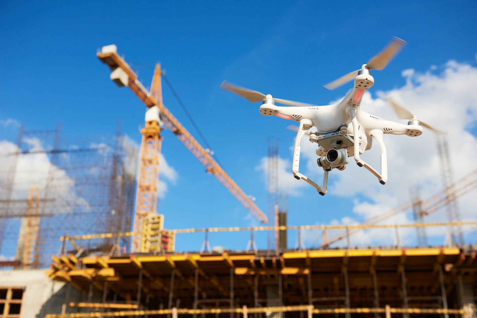
CAPTURE
Collect overlapping imagery designed for mapping.
- Automated grid missions
- RTK-positioned RGB imagery
- Ground control when appropriate
- Large-area and corridor capture
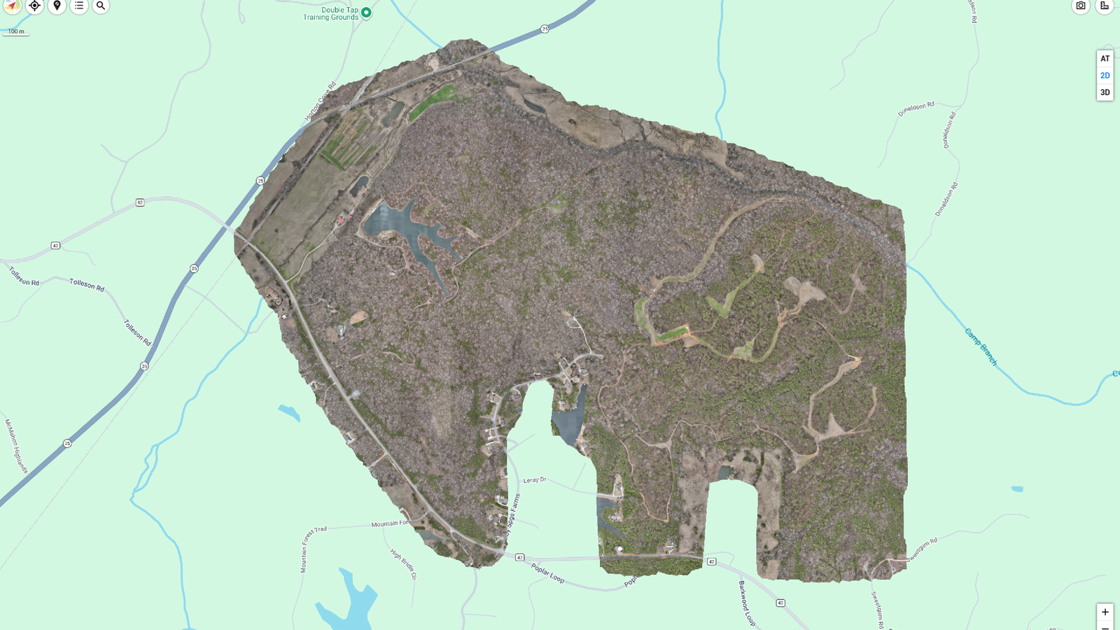
PROCESS
Transform imagery into geospatial products.
- Orthomosaic maps
- Point clouds
- Digital surface models
- Elevation products
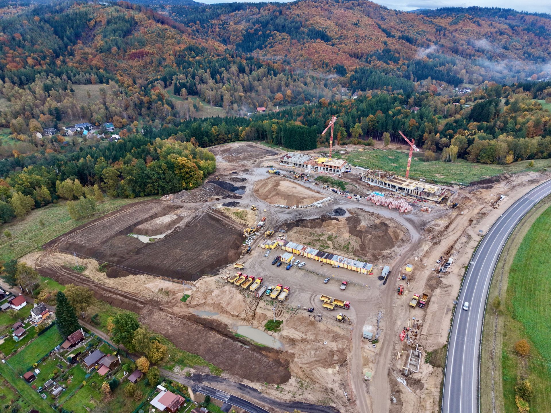
DELIVER
Provide files matched to the client workflow.
- GeoTIFF imagery
- PDF site maps
- Point clouds
- GIS or CAD-compatible exports
Common Applications
Drone mapping supports planning, documentation, estimating and engineering workflows. It does not replace a licensed land survey when a certified or stamped survey is legally required.
Construction & Development
Existing conditions, current site maps and project documentation.
Land & Property
Large-acreage mapping, development context and property records.
Infrastructure
Road, utility and linear-corridor documentation.