
Create a Digital Version of the Real World
PHOTOGRAMMETRIC MODELS FOR VIEWING, MEASUREMENT AND DOCUMENTATION.
Photogrammetry combines overlapping views to recreate a site, structure, property or object in three dimensions.
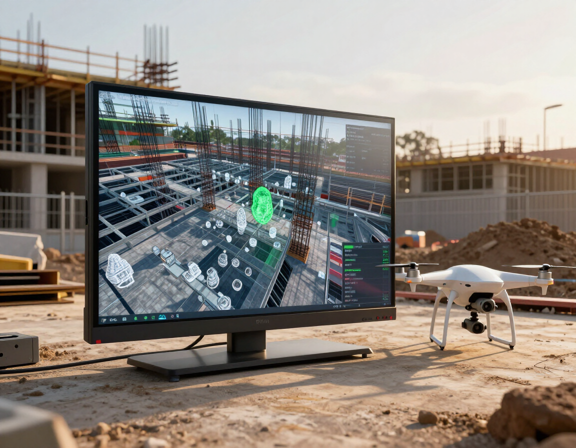
Capture. Process. Deliver.
Successful reconstruction requires imagery from useful angles, sufficient overlap and an appropriate processing workflow.
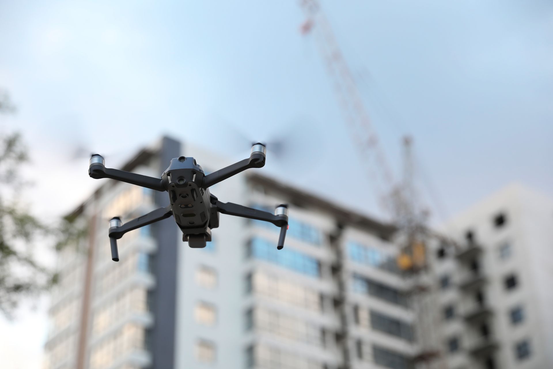
CAPTURE
Photograph geometry from useful angles.
- Nadir and oblique imagery
- Close-range structure imagery
- RTK and control
- Ground imagery when needed
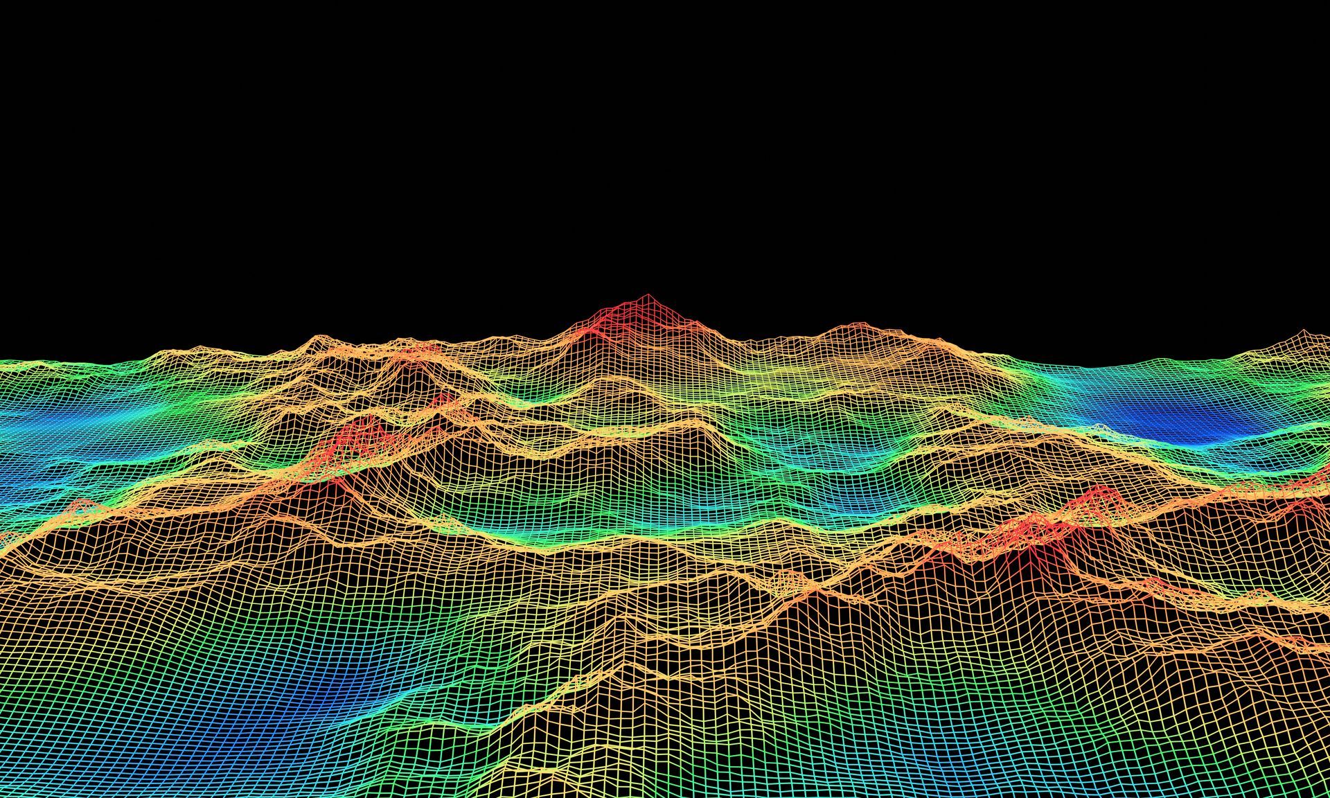
PROCESS
Reconstruct the subject.
- Dense point clouds
- Textured meshes
- Surface models
- Photorealistic environments
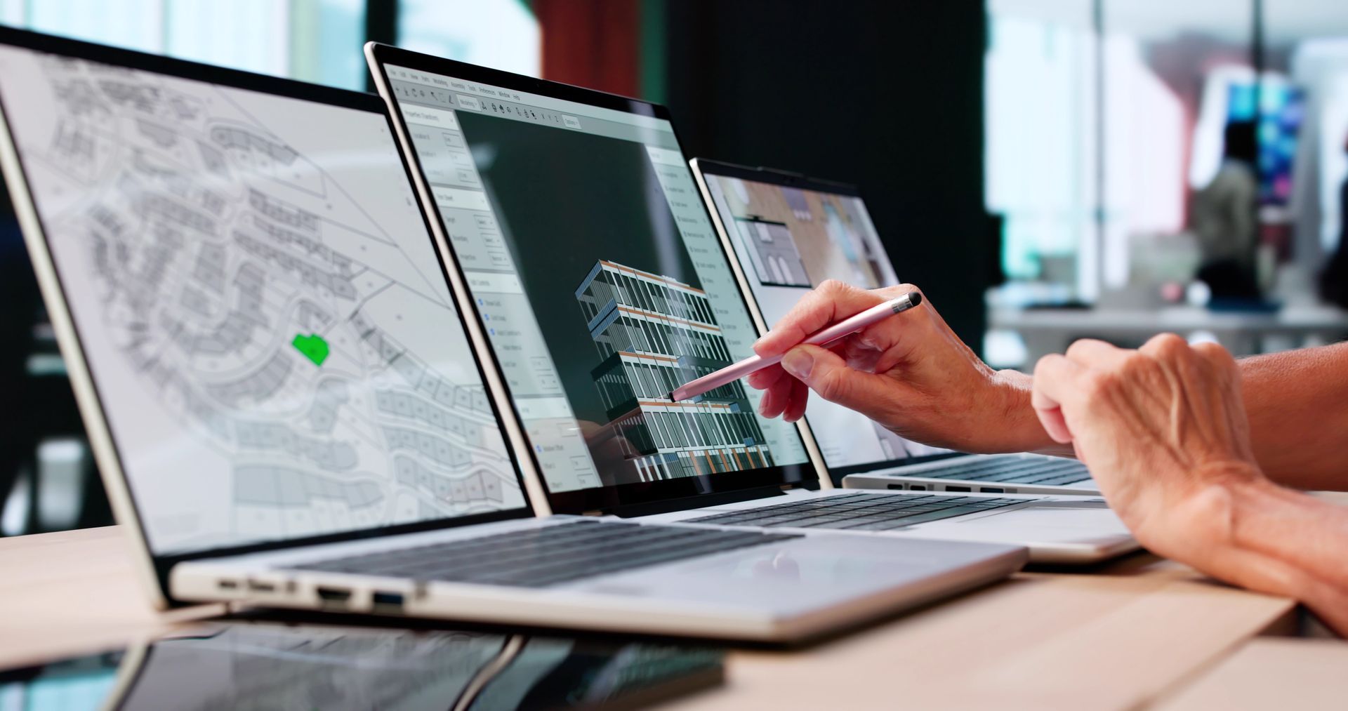
DELIVER
Let stakeholders revisit the site digitally.
- Interactive viewers
- Point-cloud files
- Textured models
- Presentation imagery
Common Applications
Models can support existing-condition documentation, visualization, measurement and long-term digital records.
Sites & Structures
Buildings, construction sites, industrial facilities and historic structures.
Existing Conditions
Digital records that allow stakeholders to revisit the captured site.
Project Integration
Supported file formats and downstream uses are confirmed during scoping.