QuickView provides mapping, measuring, inspection, modeling, monitoring and real estate marketing services. Each mission is designed around the intended use of the final deliverable.
You do not need to know whether the project requires an orthomosaic, point cloud, thermal dataset or textured mesh. Explain what you need to accomplish and QuickView will recommend an appropriate approach.
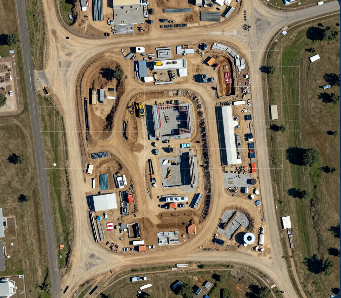
Map It
Current, site-wide visual and geospatial context.
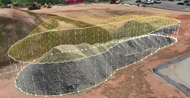
Measure It
Quantities derived from controlled aerial capture.
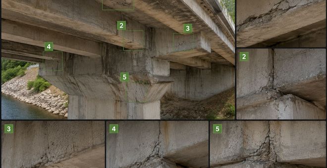
Inspect It
Detailed RGB and thermal documentation.
Model It
Digital representations for viewing and analysis.
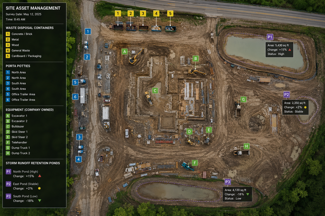
Monitor It
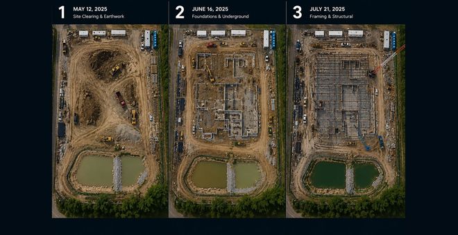
Repeatable documentation over time.
Market It
Professional media for property presentation.
Capture. Process.Deliver.
The intended deliverable determines the flight plan, sensor, positioning method, processing workflow and final file package.
Capture
Collect the right imagery, thermal data, video or positioning information.
Process
Transform raw data into maps, models, measurements, reports or finished media.
Deliver
Organize the results in formats the project team can understand and use.