
Document Progress. Compare Change. Preserve the Record.
REPEATABLE AERIAL DOCUMENTATION THROUGHOUT THE PROJECT.
Repeatable flights and viewpoints create a dated visual record of changing site conditions throughout the project lifecycle.
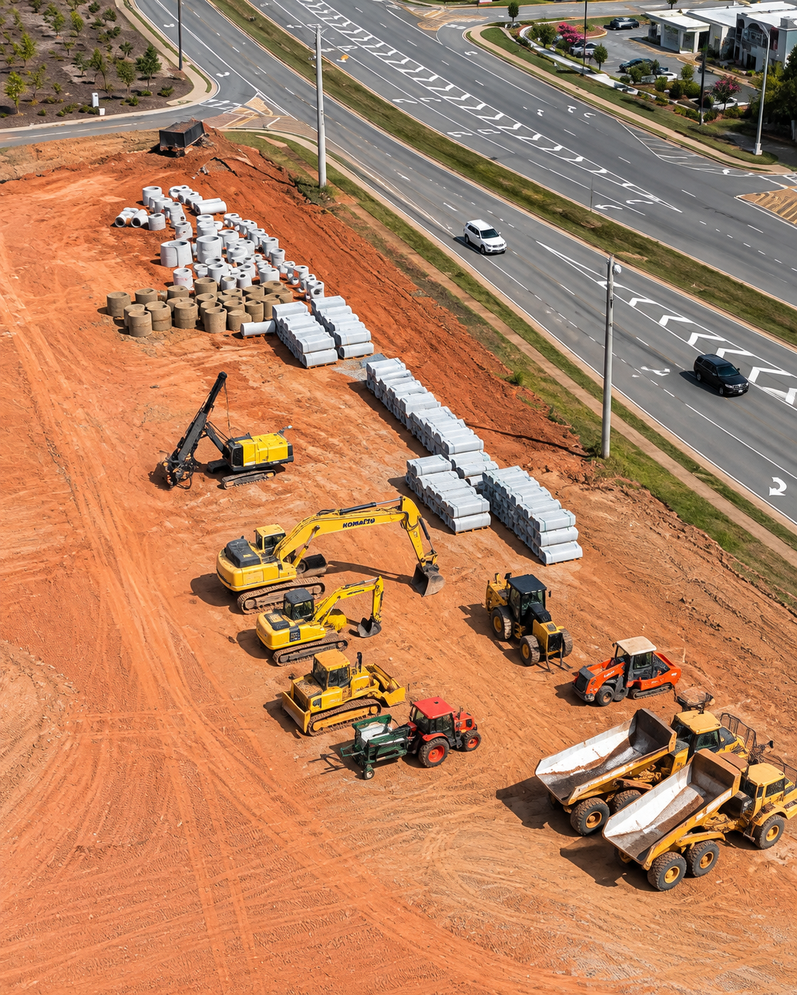
Capture. Process. Deliver.
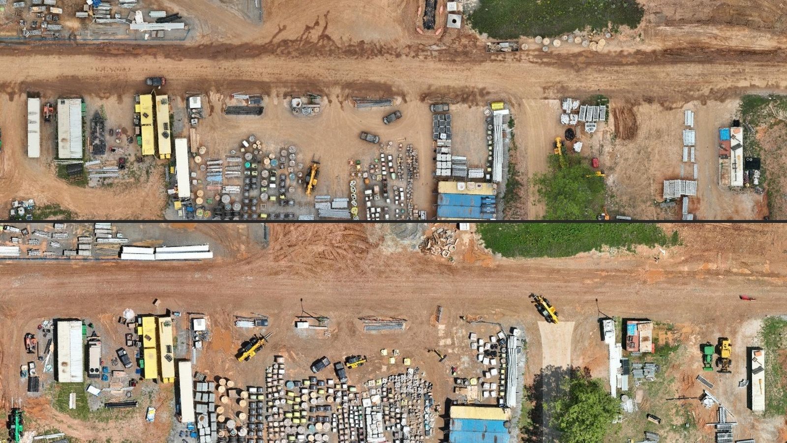
Consistency in flight paths, viewpoints and timing makes each new capture more valuable when compared with previous work.
CAPTURE
Repeat the mission consistently.
- Scheduled mapping
- Repeatable flight paths
- Progress photographs
- Targeted areas of interest
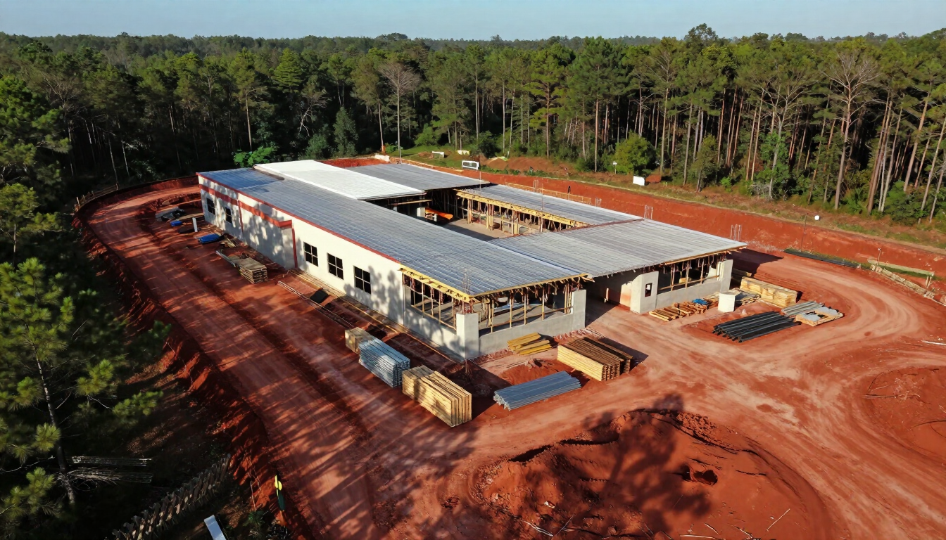
PROCESS
Organize each project interval.
- Current-condition maps
- Progress imagery and video
- Before-and-after comparisons
- Models and measurements
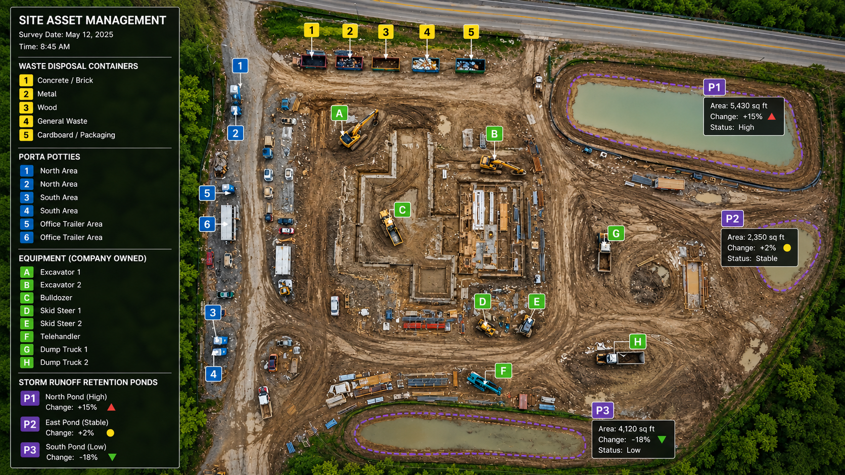
DELIVER
Create a useful project timeline.
- Date-organized imagery
- Progress reports
- Milestone documentation
- Stakeholder updates
Common Applications
Monitoring documents observable conditions and provides a durable project record for owners, contractors and remote stakeholders.
Construction Progress
Weekly, biweekly, monthly or milestone-based documentation.
Earthwork & Materials
Track visible changes in grading, stockpiles and site development.
Stakeholder Communication
Share current site context with people who cannot visit regularly.